SEA Q1 Update / Robots, elephants and fast-track data

Hey there SEA crew!
It’s been a minute since we posted news — it’s heads-down at SEA HQ right now, we’re deep into the heavy lifting stage of building our apps and API. It’s exciting stuff, but sometimes you realise you haven’t looked up for a few… months! So, here’s a quick update on where we’re at.
In terms of climate news, there were ups and downs to 2022 (and 2023 so far). On the upside: UNEP reported in 2022 that the ozone layer will fully recover in the next 40 years thanks to the effects of the Montreal Protocol and Kigali amendment, France’s ban on single use plastics has now come into effect, and a team led by La Plata National University in Argentina has successfully deployed solar-powered anti-pollution robots into Argentinian rivers and lagoons.
There’s a downside to the news too, though. Recent extreme heat events, storms and disasters are showing that the impacts of the climate crisis could be much more severe, and occur much sooner, than previously thought. It’s looking like many societies — stable societies, with complex infrastructure — could be devastated by these dramatic events before emissions reductions have chance to take effect. Alongside that, many scientists are now pointing to the huge current rate of biodiversity loss as the start of a new mass extinction event. Research — mainstream research, not a couple of sideline papers, we’re talking about a large consensus here — is showing that if we don’t reverse the losses we’re seeing, total ecosystem collapse is inevitable.
In our view, the situation makes an even more urgent case for decentralised environmental research. We need all eyes on the environment, all around the globe, at all times. We need hyper-local data from every possible location, so that we can build a complete and evolving image of what’s happening to our planet.
So, what’s been happening at SEA Foundation? Well, a lot!
First of all, we’ve been expanding our nonprofit networks locally, hooking up with funding bodies, environmental groups, governmental departments and individual researchers and data scientists here in Scotland. We’re now members of The Data Lab, and we’re expanding our team to bring in local expertise in earth observation and data architecture.
We’ve been widening the net in terms of what data will be available for analysis by our systems — as well as data gathered by our apps and API, we’re partnering with some of the biggest players in environmental AI, earth observation and weather data APIs. The reasoning behind these partnerships is simple — there’s no point in us gathering data which is already covered by satellites, weather stations and existing apps with well-trained AIs. Why reinvent the wheel? We’d rather focus our efforts on filling the data gaps, and combining our data with that of our partners, to build a unified global resource.
What does this mean in practice, for the Nexus? Well, imagine that people around the planet are using our apps and API to measure sea ice — the shape, mass and distribution of the ice, and how it forms and melts over the year. They can also measure sea levels, localised wind speed, and other relevant data, all using the Nexus apps and API. Now, thanks to these partnerships, we can combine the data they supply with satellite and weather station data to track changes in air and water temperature, snow and rainfall, and more. When we go looking for correlation, deviation, or other interesting data patterns, we can factor these important data classes into our equations.
Each one of these new partnerships is a detailed and exciting story in itself — we’ll save the specifics for individual reveals as we move forward!
In tech terms, a number of big developments have emerged as we’ve been building. One of the most exciting is our “fast track” data pathway. We’ll be posting a dedicated paper on this soon, but for now here’s the idea. Why do people contribute data to the Nexus? Well, for two reasons: they get reward tokens, and they want to make a difference. Now, our fast-track data pathway gives you a third reason to get involved.
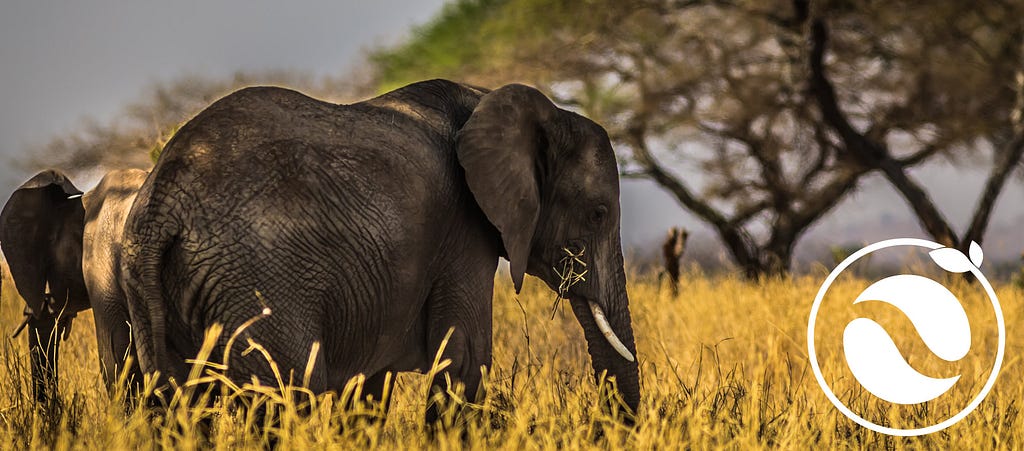
Imagine that you’re a park ranger in Botswana, monitoring the elephant population. You’re good at your job, but with the right tools, you could be even better. Imagine if you had a smartphone app which could not only tell you “yep, that’s an elephant”, but also which elephant, whether it’s male or female, healthy or underweight, where that specific animal has travelled over the last month, even if she’s pregnant. Our fast-track data pathway does exactly that — it gives immediate AI feedback on what it sees.
Think about that for a second — people will use the Nexus app for their own purposes, to find out what species that caterpillar is, or why that tree has black spots on its leaves. And the whole time, we’re feeding that data into the Nexus. The more reasons we can give people to point their phone at a tree, an animal, a coastal feature, a forest edge or a patch of lichen, the more hyper-local environmental data we get into the Nexus, and the richer our data-image becomes.
Right — back to work! We’ll be updating more regularly as we move towards the Nexus launch, and we have some big stuff to announce on the way, so stay tuned! The dates on our roadmap are being kept current and up to date, so keep your eye on that schedule.
Don’t forget to join us on Telegram, Twitter and Discord.

Leave a Reply